Distance from Merzouga to Major Moroccan Cities
Real driving distances and times from Merzouga to Marrakech, Fes, Casablanca, and other major Moroccan cities, plus what the routes actually involve.
Merzouga sits in the far southeast of Morocco, right at the edge of the Erg Chebbi dunes, which means getting there from almost anywhere else in the country involves a real drive — this isn't a place you pass through on the way to somewhere else. Here's what the distances and driving times actually look like from the cities travelers ask about most.
[!NOTE] Fast-Facts & Direct Answer Summary
Renting a car in Morocco is straightforward on well-maintained paved national highways (N-roads), but mountain passes and rural desert roads require daylight driving and defensive vigilance.
- Road Conditions: Major routes (N9, N10, N13) are fully paved; a 4x4 is not mandatory for main roads, but helpful for desert access
- Average Rental Rates: 250–450 MAD (€25–€45)/day for economy cars; 700–1,200 MAD (€70–€110)/day for 4x4 SUVs
- Navigation & Police: Download offline maps (Google Maps/Maps.me). Respect speed limits (regular radar controls along national highways)
- Golden Driving Rule: Avoid night driving through mountain passes like Tizi n'Tichka due to unlit winding curves and freight traffic.
Distance chart
| City | Distance | Driving time | Route | |------|----------|---------------|-------| | Marrakech | ~560 km | 9-10 hours | N9 over the Tizi n'Tichka pass | | Fes | ~470 km | 7-8 hours | N13 via Ifrane and Midelt | | Casablanca | ~700 km | 10-11 hours | Via Beni Mellal or via Marrakech | | Rabat | ~650 km | 9-10 hours | Via Meknes/Fes or via Marrakech | | Ouarzazate | ~360 km | 5-6 hours | N10 via Alnif | | Errachidia | ~150 km | 2.5 hours | N13 | | Erfoud | ~50 km | 45 minutes | Direct road | | Rissani | ~35 km | 30 minutes | Direct road | | Tinghir | ~200 km | 3.5 hours | N12 | | Dades Valley | ~280 km | 4.5 hours | N10 then N12 | | Chefchaouen | ~650 km | 10-11 hours | Via Fes | | Tangier | ~800 km | 12-13 hours | Via Fes/Rabat | | Agadir | ~650 km | 10-11 hours | Via Ouarzazate | | Essaouira | ~700 km | 11-12 hours | Via Marrakech | | Meknes | ~500 km | 8-9 hours | N13 via Fes |
These are driving times for a car covering the distance without extended stops — treat them as a planning baseline, not a promise, since mountain roads, weather, and how often you stop for photos or meals all move the real number around.
The two routes that matter most
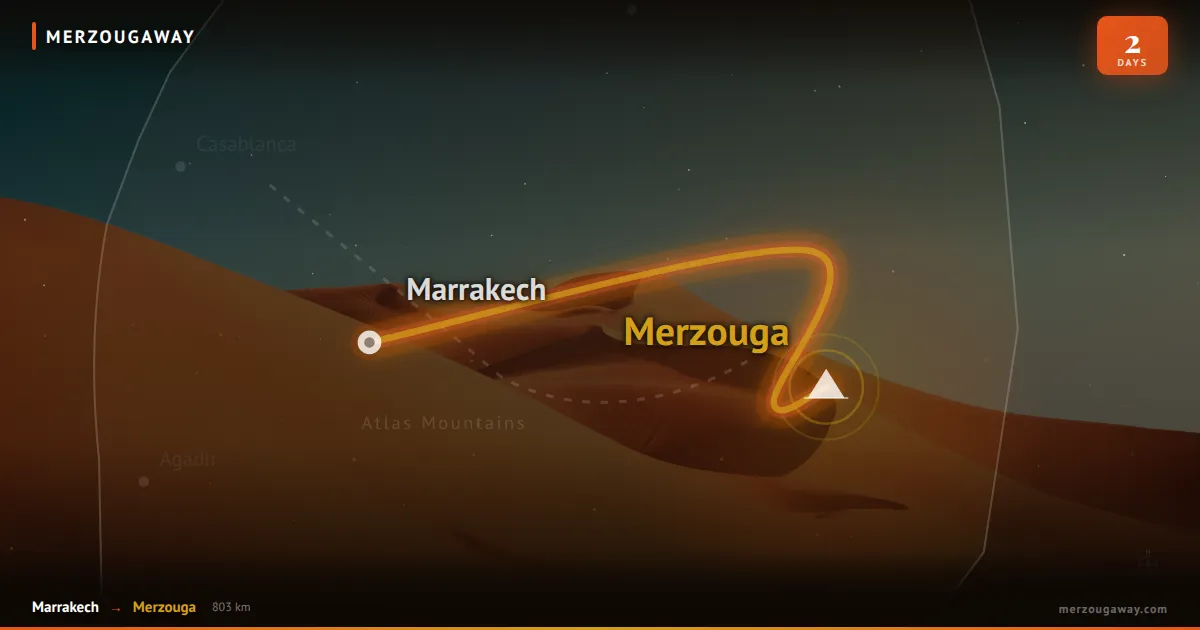
Most travelers reach Merzouga from either Marrakech or Fes, and the two routes feel completely different. From Marrakech, the road climbs over the Tizi n'Tichka pass through the High Atlas before dropping into Ouarzazate and Ait Ben Haddou, then running east across increasingly desert terrain — it's a spectacular but genuinely long day of driving, which is why almost every tour splits it into two days rather than pushing straight through. For the full segment-by-segment breakdown of that specific route, see our Marrakech to Merzouga distance guide.
From Fes, the route runs south through the Middle Atlas — Ifrane, with its unusually alpine, almost European feel, then Azrou's cedar forests, then down through the Ziz Valley's palm groves before the final stretch into Merzouga. It's a shorter drive than from Marrakech and can realistically be done in one long day, though breaking it in Midelt or Azrou is a comfortable option if you'd rather not do it all at once.
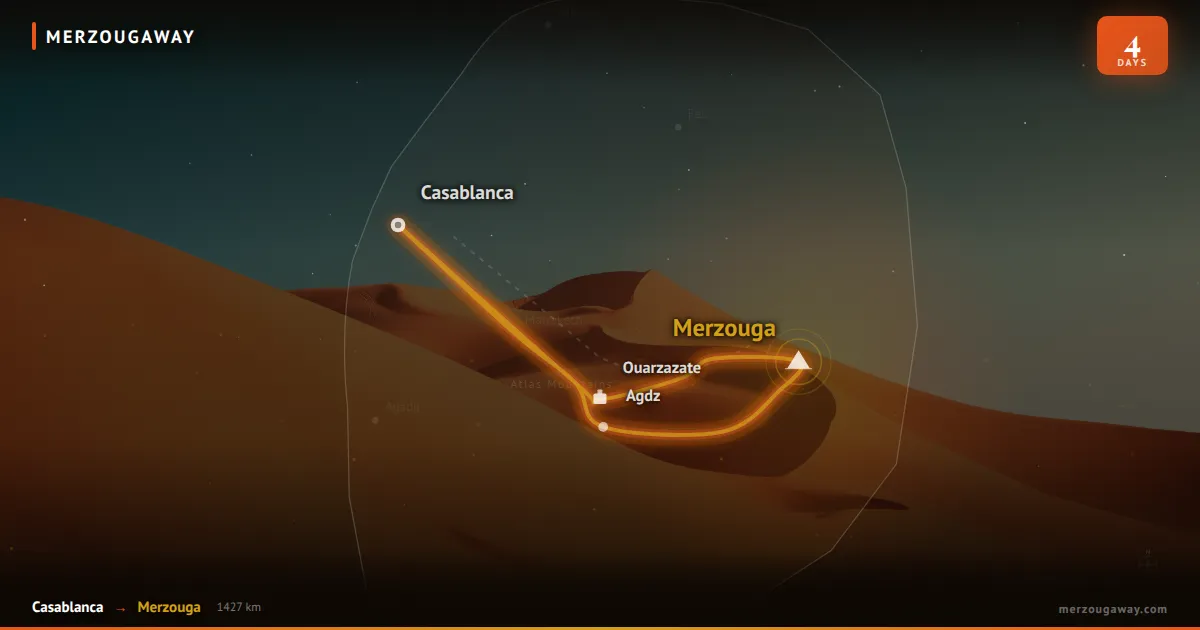
Casablanca and Rabat are both a full day's drive regardless of route, typically run via either the Fes corridor or down through Marrakech — if time is tight, flying into Marrakech or Fes first and driving the shorter regional leg from there is usually the more sensible plan than driving the whole distance from the coast. See things to do in Casablanca, things to do in Rabat, and things to do in Agadir if any of these are on your route.
Getting there without driving yourself
A private transfer or tour vehicle is how most visitors actually cover this distance — it's the most comfortable option and the one that handles the mountain driving for you, which matters given how demanding roads like the Tizi n'Tichka pass can be for anyone unused to them. Public transport exists (CTM and Supratours buses run from major cities as far as Rissani, about 35km from Merzouga, with a grand taxi or arranged transfer covering the last stretch) but adds real time and hassle for a route this long. Self-driving is possible on well-maintained main roads, though a 4x4 is worth considering if you plan to get off paved roads once you're in the desert area itself.
Practical notes
The cooler months, roughly October through April, are the easier window for this kind of drive — summer heat makes the desert legs genuinely uncomfortable and puts more strain on a vehicle. In winter, check ahead for closures on the Tizi n'Tichka pass, which does occasionally see snow. On any of the longer routes, Errachidia, Ouarzazate, and Midelt are natural rest-stop towns worth planning around rather than trying to drive straight through. Night driving on these roads is worth avoiding where you can — lighting is limited outside towns and livestock on the road is a real hazard after dark. Merzouga has no airport of its own; Errachidia is the nearest one, about 150km away.
Master Distance and Route Matrix from Merzouga to Major Moroccan Hubs
Situated on the far southeastern edge of the Kingdom of Morocco against the Algerian border, Merzouga and the majestic dune field of Erg Chebbi are remote Saharan destinations. Reaching this golden sand wilderness requires crossing high mountain ranges, winding river canyons, and vast arid desert plateaus.
The following master distance matrix details exact road distances, realistic transit durations, highway numbers, and recommended travel strategies connecting Merzouga to ten major Moroccan cities:
| City & Destination | Driving Distance (km / miles) | Realistic Drive Time | Primary Highways Used | Road Quality & Mountain Terrain | Optimal Travel Pacing | | :--- | :--- | :--- | :--- | :--- | :--- | | Marrakech | 560 km / 348 miles | 9.0 to 10.0 Hours | N13 ➔ N10 ➔ N9 | Excellent paved asphalt; steep High Atlas pass (Tizi n'Tichka 2,260m) | 3 or 4-day tour with overnight in Dades Valley or Skoura Oasis | | Fes | 470 km / 292 miles | 7.5 to 8.5 Hours | N13 (Direct Highway) | Excellent asphalt; climbs Middle Atlas via Ziz Gorge, Midelt & Ifrane | 2-day express or 3-day loop; fastest major city connection | | Casablanca | 680 km / 422 miles | 10.5 to 11.5 Hours | N13 ➔ A1 / A3 Motorway | Mix of scenic national highways and divided toll motorways | Domestic flight (Casa to Errachidia ERH) or 4-5 day overland tour | | Rabat | 650 km / 404 miles | 10.0 to 11.0 Hours | N13 ➔ A2 / A1 Motorway | Scenic mountain drive through Middle Atlas, then toll motorway | 4 to 5-day imperial cities and desert circuit | | Ouarzazate | 365 km / 227 miles | 5.0 to 5.5 Hours | N13 ➔ N10 Highway | Flat, fast pre-Saharan national highway; very easy driving | 2-day weekend desert getaway; skips the High Atlas pass entirely | | Chefchaouen | 670 km / 416 miles | 11.0 to 12.0 Hours | N13 ➔ N2 Highway | Long mountain sectors through both Middle Atlas and Rif ranges | Mandatory overnight stop in Fes or Meknes; never drive in one day | | Tangier | 775 km / 481 miles | 12.0 to 13.0 Hours | N13 ➔ A2 / A1 Motorway | National highway across Middle Atlas, then northern toll motorways | 7 to 8-day grand traverse from Mediterranean to the Sahara | | Agadir (Atlantic Coast) | 660 km / 410 miles | 9.5 to 10.5 Hours | N13 ➔ N12 ➔ N10 | Scenic southern route via Taznakht (carpet capital) & Taroudant | 4 to 5-day southern desert and coast expedition | | Essaouira (Coast) | 730 km / 453 miles | 12.0 to 13.0 Hours | N13 ➔ N10 ➔ N9 ➔ R207 | Crosses Sahara, High Atlas, Haouz plain, and Argan biosphere | 7-day classic "Sand and Sea" loop via Marrakech | | Errachidia (Airport ERH)| 125 km / 78 miles | 1.5 to 2.0 Hours | N13 Highway (Direct) | Straight, flat, smooth two-lane desert asphalt highway | Quickest transit: 1.5 hr drive connects to direct flight to Casablanca |
The Scenic Northern Arterial: Merzouga to Fes via the N13
The 470-kilometer drive between Merzouga and Fes along the N13 national highway is widely regarded as one of Morocco's most scenically diverse road corridors:
- The Ziz River Valley and Canyon Gorges: Departing Merzouga northward through Erfoud and Errachidia, the N13 carves through the colossal limestone ramparts of the Ziz Gorge (Gorges du Ziz) and tunnels through the historic French Foreign Legion mountain pass (Tunnel du Légionnaire / Foum Zabel). High panoramic viewpoints reveal a meandering green ribbon of hundreds of thousands of date palms framed by towering vertical red canyon walls.
- The High Plateau of Midelt: The road climbs onto the high steppe plateau between the High Atlas and Middle Atlas ranges, passing the apple-farming capital of Midelt (1,500m elevation). Midelt is the universal midpoint lunch stop, renowned for tender slow-roasted lamb tagines and fresh mountain trout.
- The Cedar Forests of Azrou and Ifrane: Climbing further into the Middle Atlas mountains, the highway traverses ancient Atlantic cedar forests surrounding Azrou, where troops of wild Barbary macaques leap through the branches. The route passes the alpine chalet town of Ifrane (1,665m) before descending into the ancient imperial basin of Fes.
The Classic Southern Route: Merzouga to Marrakech
Traveling between Merzouga and Marrakech spans 560 kilometers along the N13, N10, and N9 highways, weaving through the legendary "Route of a Thousand Kasbahs":
- The Todra and Dades Gorges: Situated midway along the northern flank of the Jbel Saghro mountain range, the 300-meter sheer limestone walls of Todra Gorge near Tinghir and the dramatic switchbacks of the Dades Valley provide sensational overnight stopovers that break the 10-hour drive into manageable 4-to-5-hour daylight segments.
- Skoura Oasis and Ouarzazate: Continuing westward, drivers pass the dramatic mud-brick kasbahs of Skoura and the cinema film studios of Ouarzazate before ascending to the UNESCO World Heritage ksar of Ait Benhaddou.
- The Tizi n'Tichka Mountain Crossing: The final hurdle is the monumental N9 climb over the Tizi n'Tichka Pass (2,260m) across the High Atlas, offering breathtaking hairpin switchbacks and panoramic alpine vistas before descending into the vibrant palm groves of Marrakech.
The Remote Southern Corridor: The N12 Desert Highway
For intrepid travelers seeking off-the-beaten-path landscapes, the N12 highway connects Merzouga to Ouarzazate and Agadir via the southern side of the Jbel Saghro:
- Rissani to Alnif and N'Kob: Leaving Rissani, the N12 cuts westward through vast, desolate acacia-studded plains and prehistoric trilobite fossil beds around Alnif, arriving at the oasis village of N'Kob, famous for its 45 intact mud-brick kasbah towers.
- The Draa Valley Date Palm Highway: From N'Kob, the road connects at Tansikht to the N9 following the meandering Draa River—Morocco's longest river basin—lined by an unbroken 100-kilometer ribbon of date palm groves and ancient clay fortresses leading to Agdz and Ouarzazate.
Fueling Strategy and Highway Services Along Desert Corridors
Covering vast overland distances to Merzouga requires mindful vehicle maintenance and fuel planning:
- Service Station Density: Modern fuel plazas (Afriquia, Shell, Total, Winxo) with clean restrooms, convenience markets, and espresso bars are plentiful along the northern N13 through Midelt and Errachidia, as well as the N10 through Ouarzazate and Tinghir.
- The Desert Margin Golden Rule: Once you pass Erfoud on the approach to Merzouga, fuel stations become scarce. Never allow your fuel tank to drop below one-quarter capacity. Always top off your fuel tank in Tinghir, Erfoud, or Rissani before entering the desert.
- Emergency Tire Repair (Vulcanisateurs): Roadside tire repair shops are ubiquitous in every Moroccan village. If a desert stone punctures a tire, a local vulcanisateur will patch and re-inflate the wheel for 30 to 50 MAD in under 15 minutes.
Scenic Detours: The Ounila Valley and Ait Benhaddou Mountain Route
When traversing the classic western route between Merzouga and Marrakech, discerning overland travelers often take the historic mountain shortcut through the Ounila Valley:
- Bypassing the Main N9 Highway: Instead of driving the standard N9 national highway between Ouarzazate and Tichka summit, branch off at Tazentout onto the paved P1506 secondary road. This route follows the ancient trans-Saharan mule caravan path along the Ounila River canyon, connecting the UNESCO World Heritage ksar of Ait Benhaddou directly to the ruined palace fortress of Telouet Kasbah.
- Dramatic Geological Scenery: The Ounila Valley is one of Morocco's most visually arresting landscapes: sheer terracotta canyon walls, lush terraced green almond and olive groves along the river bottom, and dozens of fortified earthen Berber villages (tighremts) perched atop cliffs like natural stone battlements. The road was fully paved and widened in recent years, making it accessible to standard vehicles while offering world-class landscape photography opportunities far away from commercial tour bus traffic.
Frequently Asked Questions (FAQ)
Can I visit Merzouga as a day trip from Marrakech or Fes?
Not realistically — with a 9-10 hour drive each way from Marrakech (or 7-8 from Fes), a genuine day trip would mean more time in the car than in the desert. Plan at least 2-3 days round-trip to make the drive worthwhile.
Is it safe to drive to Merzouga at night?
It's best avoided. Poor lighting, animals on the road, and fewer services along the way make a nighttime arrival riskier than it needs to be — aim to arrive before dark.
What's the nearest airport to Merzouga?
Errachidia, about 150km away — see our guide to Errachidia if you're flying in that way. Ouarzazate is a second option at around 360km, useful mainly if you're combining the trip with stops further west (also worth a look: things to do in Ouarzazate).
If the drive is part of a larger desert plan, this is the route we run every week — see our tours from Marrakech and tours from Fes, our full guide to things to do once you're in Merzouga, or get in touch and we'll help you build the itinerary around it.
Email: hello@merzougaway.com WhatsApp/Phone: +212675203319 / +212668534981
Sahara Route & Drive-Time Estimator
Calculate realistic driving hours across the High Atlas (Tizi n'Tichka pass), compare scenic stops (Dadès, Todra, Ziz), and plan your custom desert itinerary.

MerzougaWay Team
We are a passionate team of local guides dedicated to sharing the beauty and culture of our home, Morocco. Our journey began with a simple desire to offer authentic, memorable experiences that go beyond the typical tourist trails.